EarthX Explorer
An interactive data visualisation and mapping app
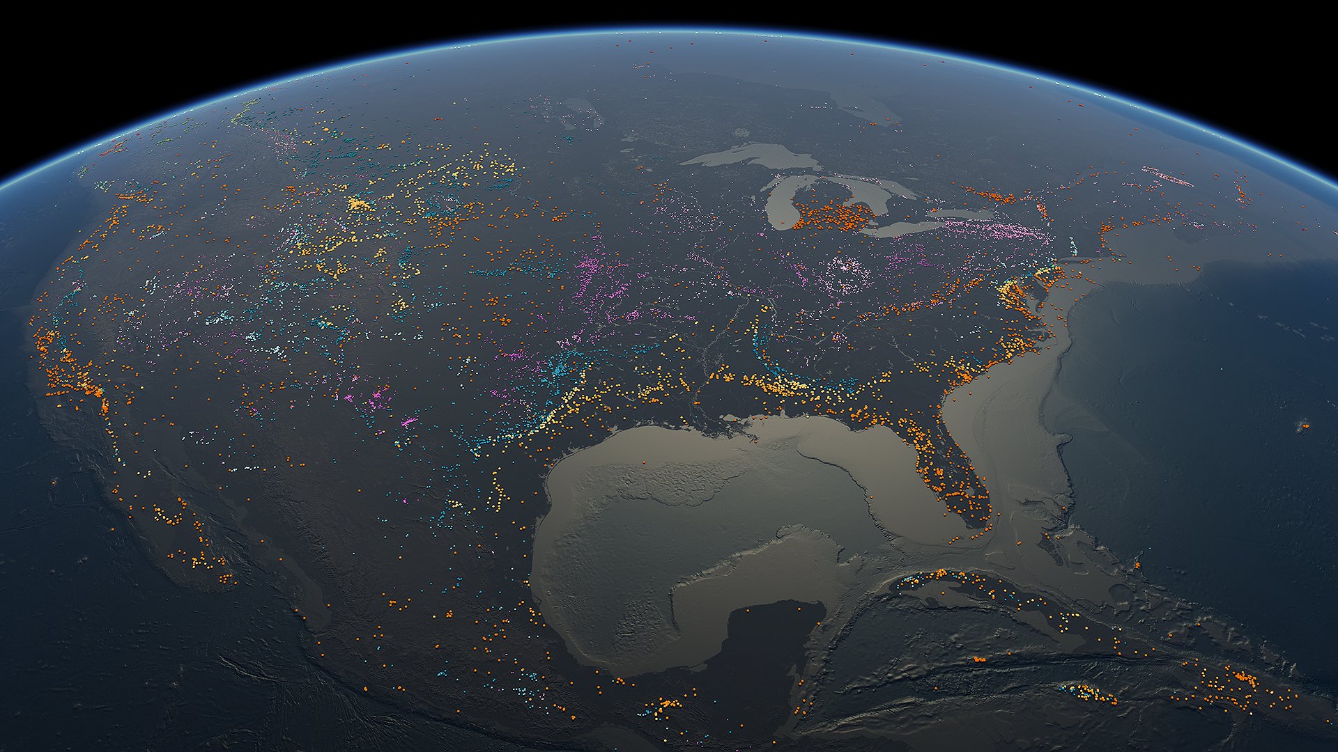
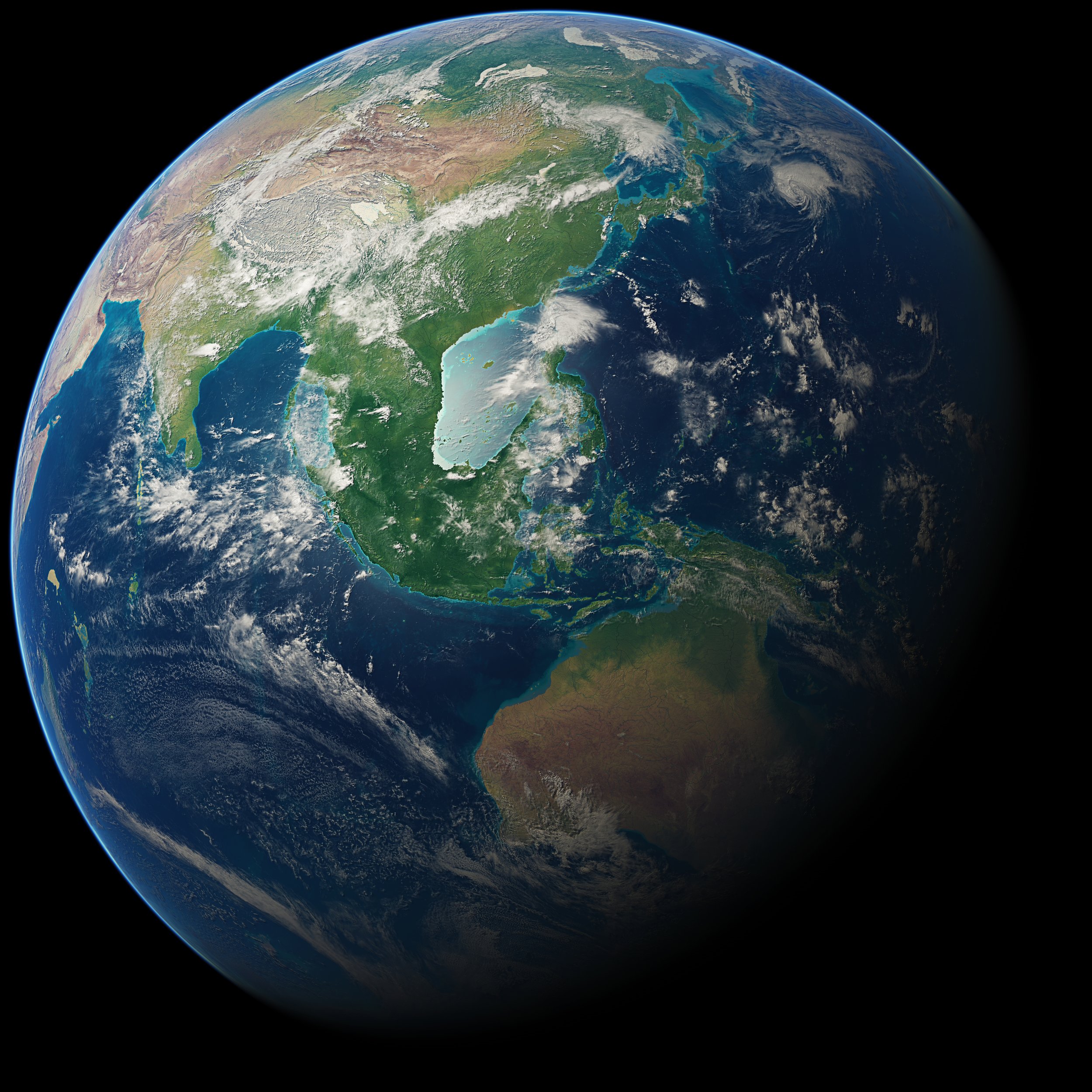
EarthX provides a web-based platform to visualise and navigate data that has location and time references on a 3D digital globe.
The EarthX globe and software combines familiar data visualisation, communication and video editing tools. Through contextual and layered data sets, via an information architecture which is easy to navigate, EarthX provides a whole systems approach to understanding local and planetary data.
EarthX is not industry specific, allowing the visualisation of many types and formats of georeferenced data, from online content, ecosystem science, environmental, through to demographic, ethnographic, technical, commercial and artistic data.
We want to help you make those "ah ha!" moments by making data engaging to explore and simple to communicate with others. Users can find and gather insights learned through seamless content delivery systems.
A flexible, scalable, platform for users to explore data, information, share knowledge and build understanding
Our Platform
EarthX is the data visualisation platform for everybody
It is an open B2B2C platform that provides users with an engaging experience of creating and learning from geospatial data.
The platform showcases a variety of data through engaging visuals that reveal patterns, cycles, micro and megatrends - facilitating the organisation and sharing of global information.
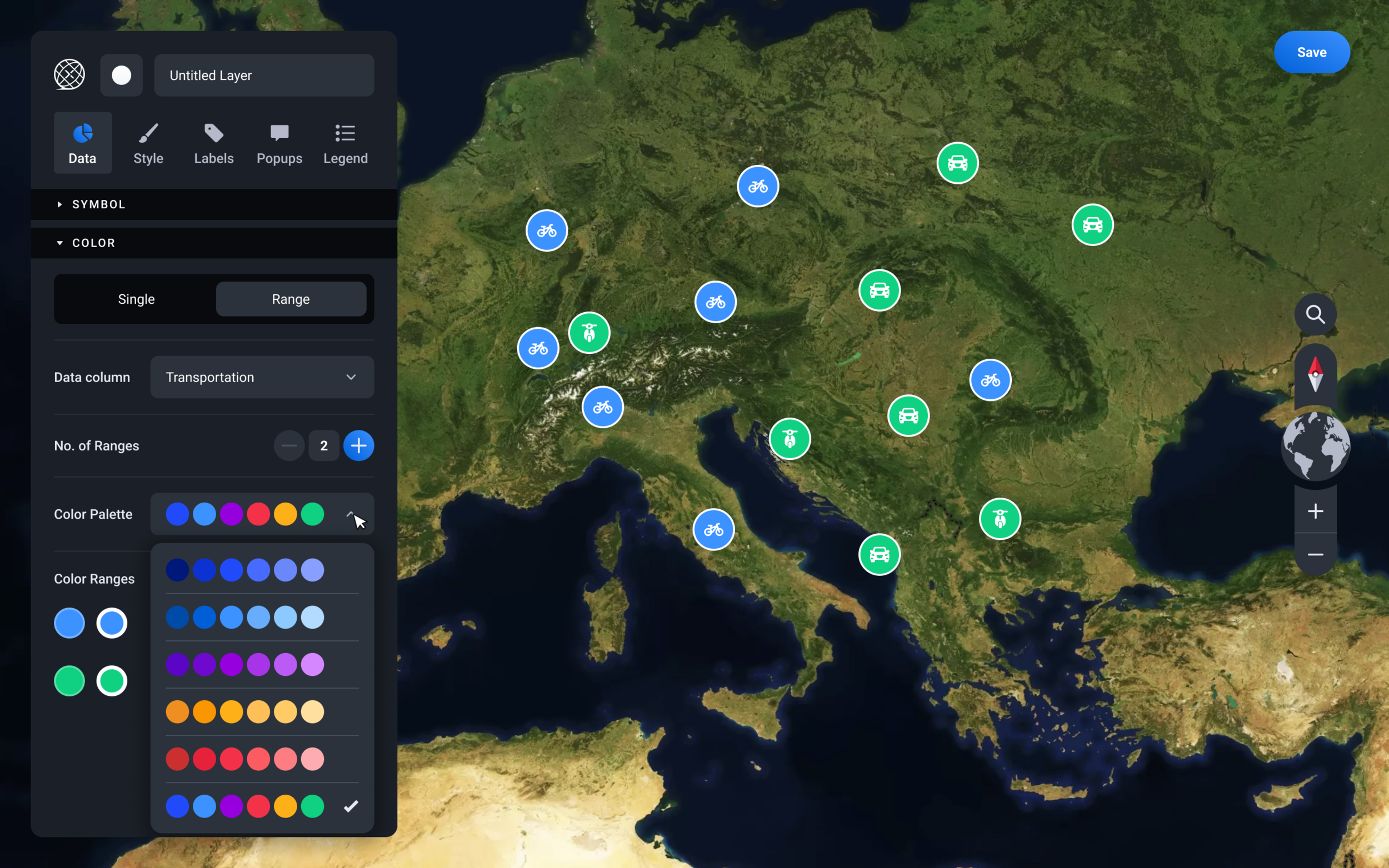
We are innovating with Layer and GeoStory Creators as they are designed to produce professional level results within just a few clicks, and no training. The GeoStory Creator is the first of its kind. The EarthX creation suites have a consumer interface that is easy and quick to use. This enables anyone, no matter the skillset, to create a highly engaging Layer or GeoStory.
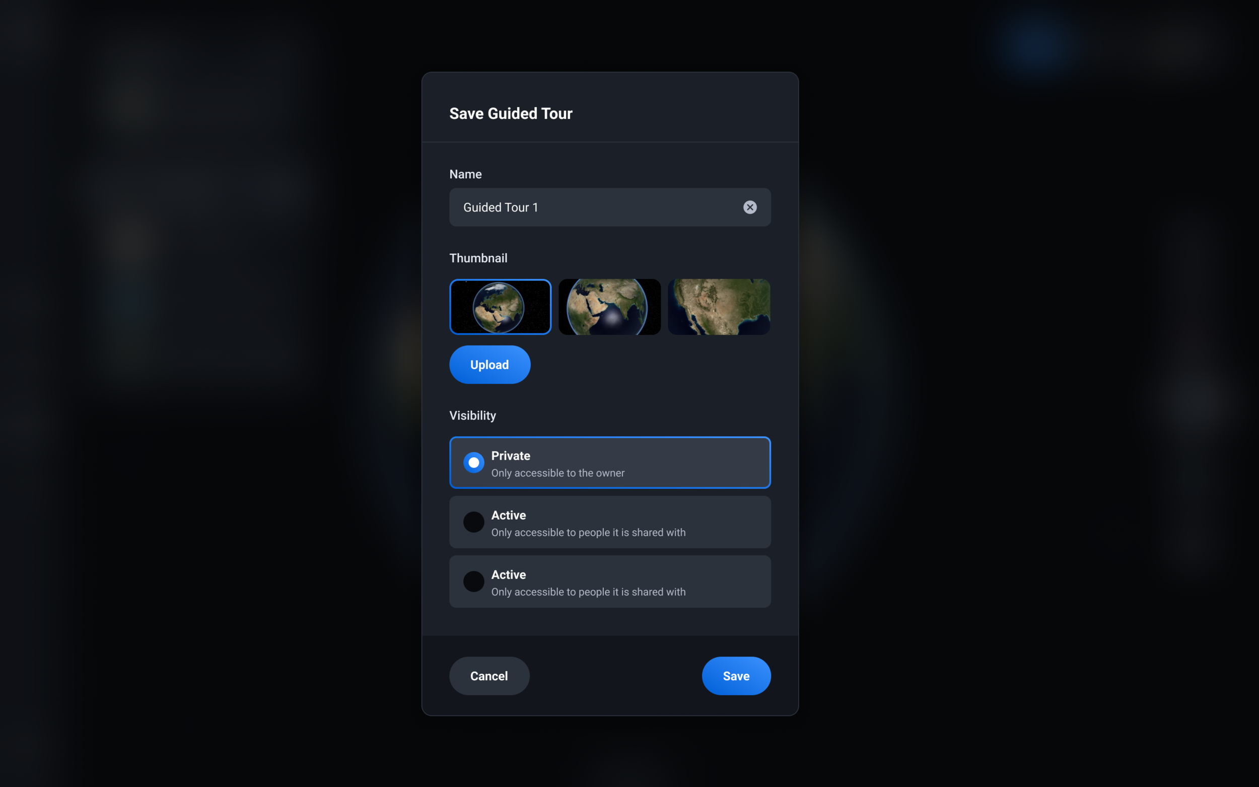
The EarthX platform is continuously being updated with new content. The platform is regularly refreshed with new and live data feeds, as well as more pre-made Layers and GeoStories. We aim to provide a fun and engaging experience for every user, every time they access the platform. The platform will also be available for users to create their own historic or live data Layers and GeoStories, which can be kept private or contribute to a publicly accessible resource.