Layer Creator
Easily transform raw data into visualised Layers
Designed as an effortless, intuitive, process with minimal steps, users can upload data in familiar formats (spreadsheet/csv file or standard geospatial data files), or import pre-designed Layers in a single click from well-known mapping platforms. Once in the EarthX platform, the data is easy to refine, manipulate and style, with easy-to-understand guided tools and immediate visual previews of how the data and information will appear on the globe. New Layers can blend data already on EarthX with users’ own imported data, along with Layers created from scratch.
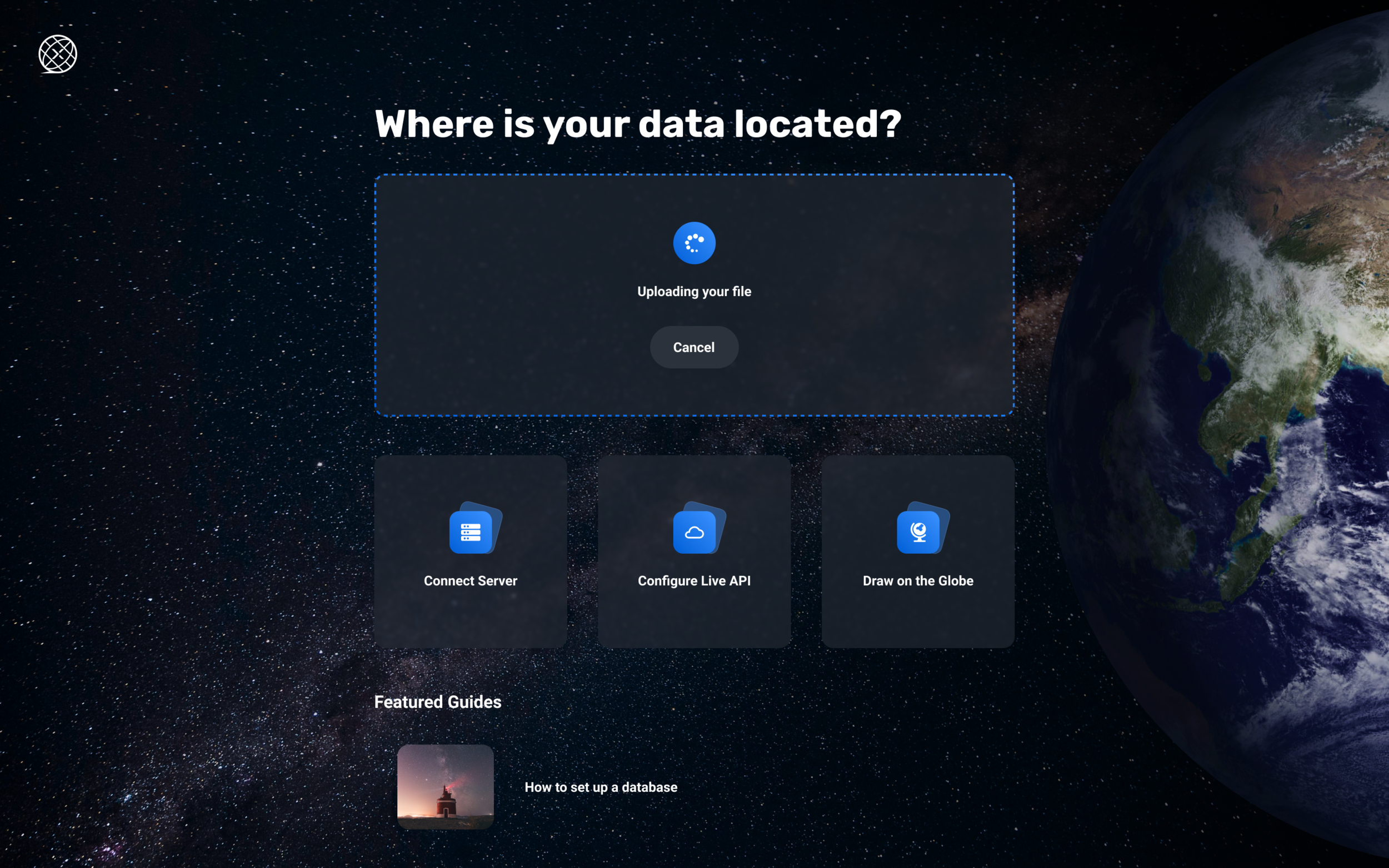

Import existing Layers
Users can import pre-created Layers into the EarthX platform in the form of GeoTIFF, GeoJSON, shape, and in some cases KML files. Layers can be visualised interactively through a Web Mapping Service (WMS) through raster or vector format. Currently we have an API which supports Mapbox and we will support Carto and other platforms in due course.
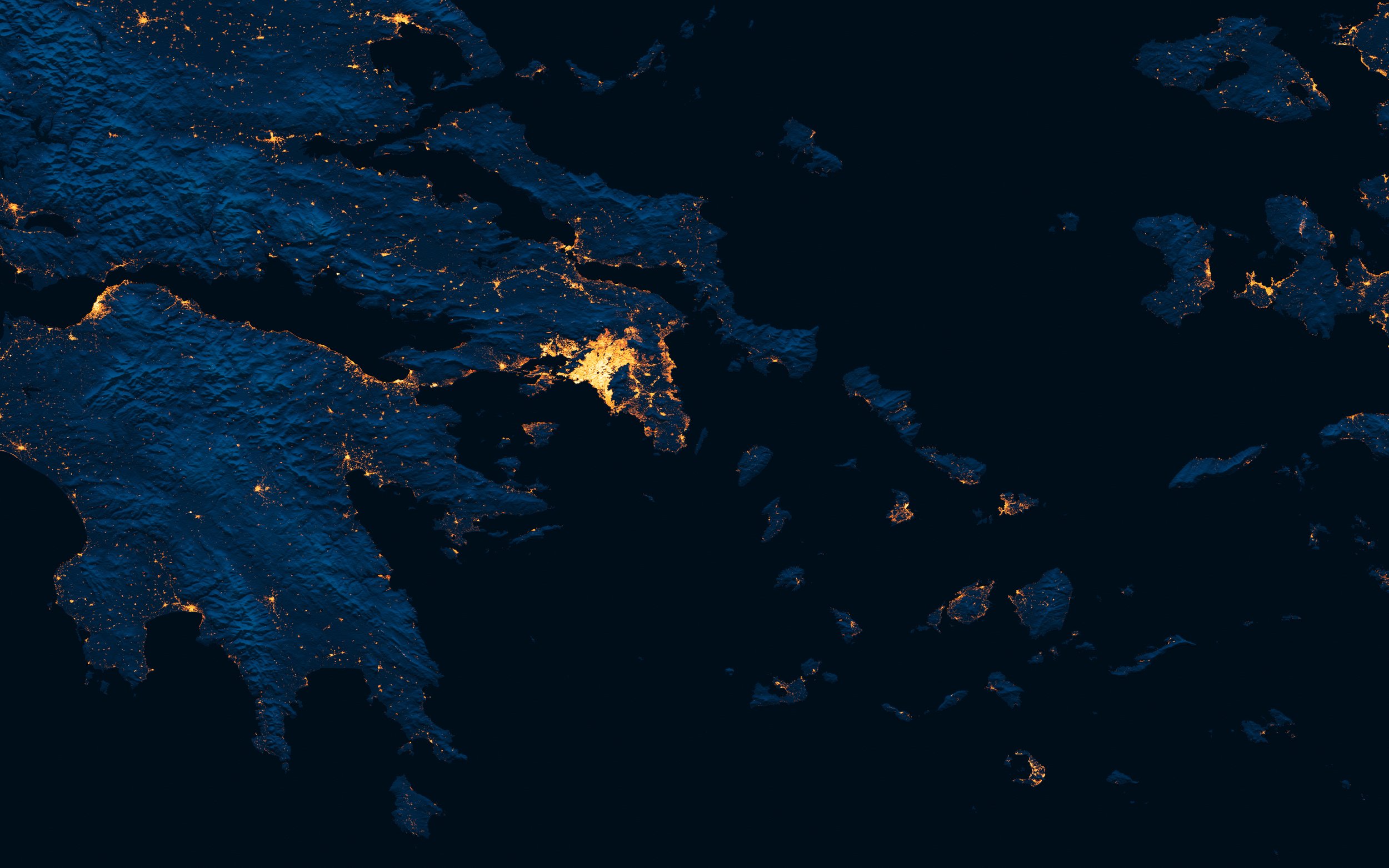
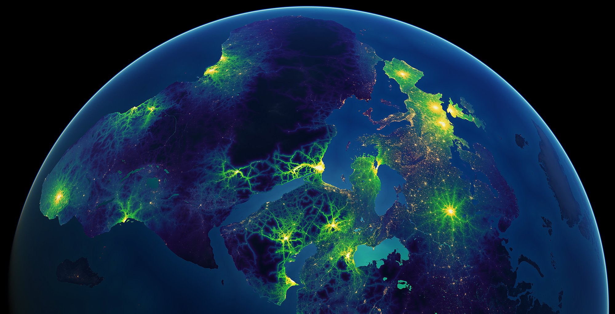
Human Settlement Footprint - Athens
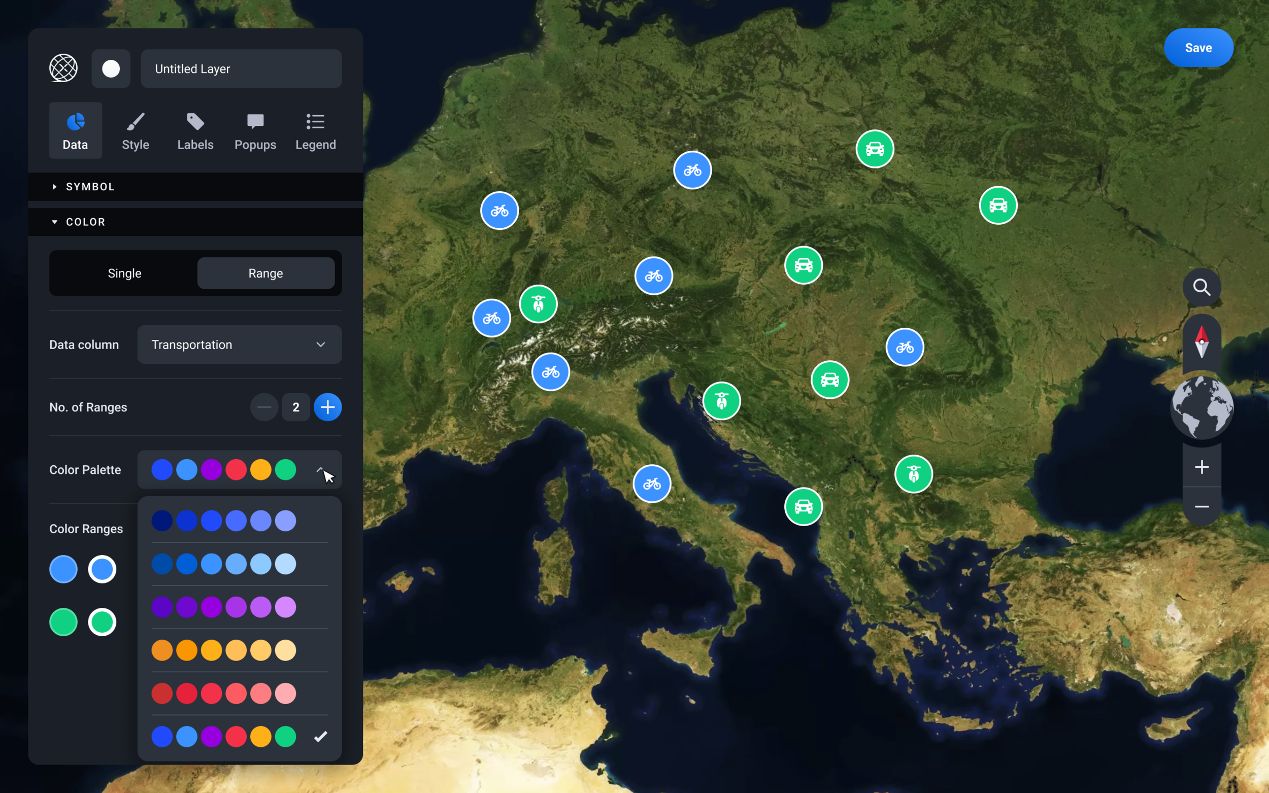
Create new Layers
The Layer Creator provides essential features and functionality for generating mapping data on our globe. This includes styling, labels and legends suitable for any user. Using a simple software tool box, users can effortlessly transform real-time or historic data into stunning visualisations in just a few short steps.
Live Layers and open-data search
A curated list of real-time data feeds is available for you to create live data Layers. Live Layers provide refreshed and timely data to ensure that they contain the most up-to-date information. Additionally, users can browse, search and access a curated list of trusted open datasets via web-portals and platforms. By providing easy access to a range of open data sources, EarthX makes it simpler for you to create new Layers.
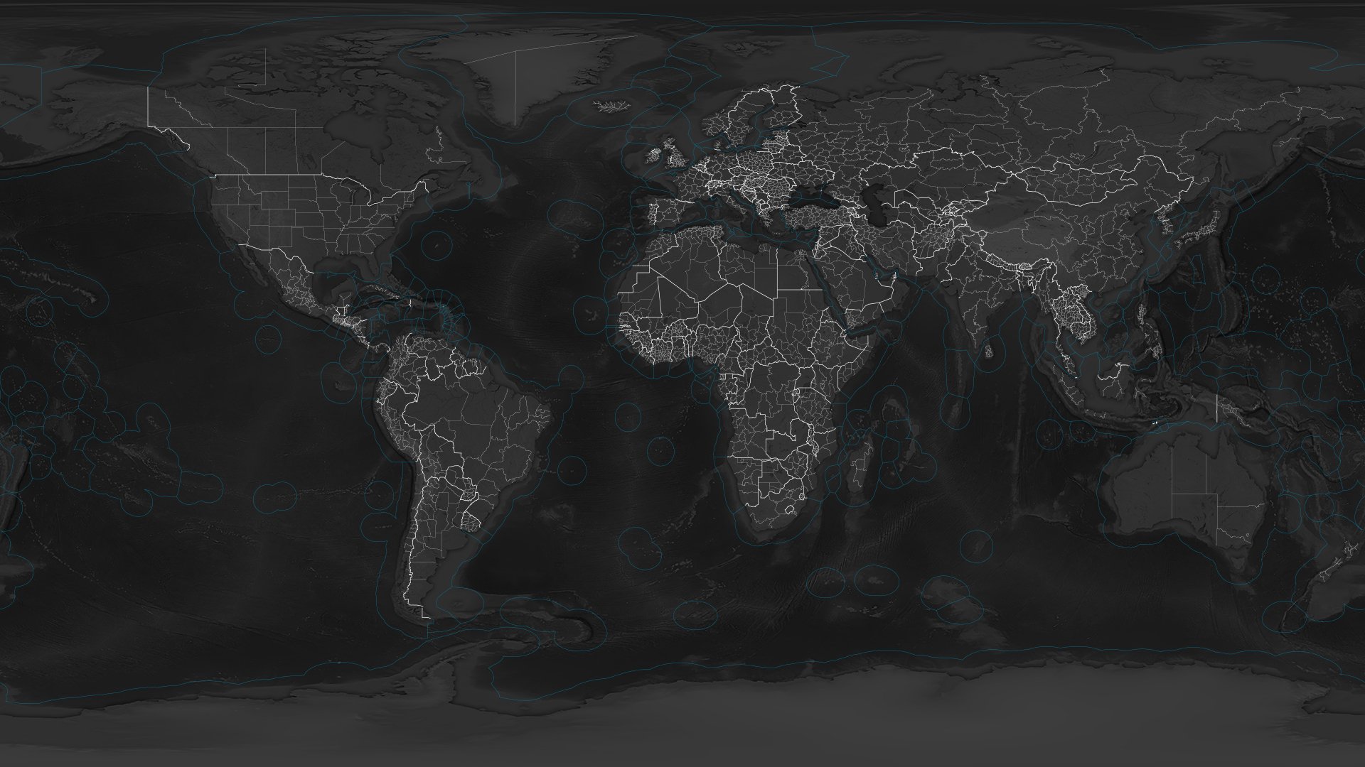
Map and navigate location-based data through time
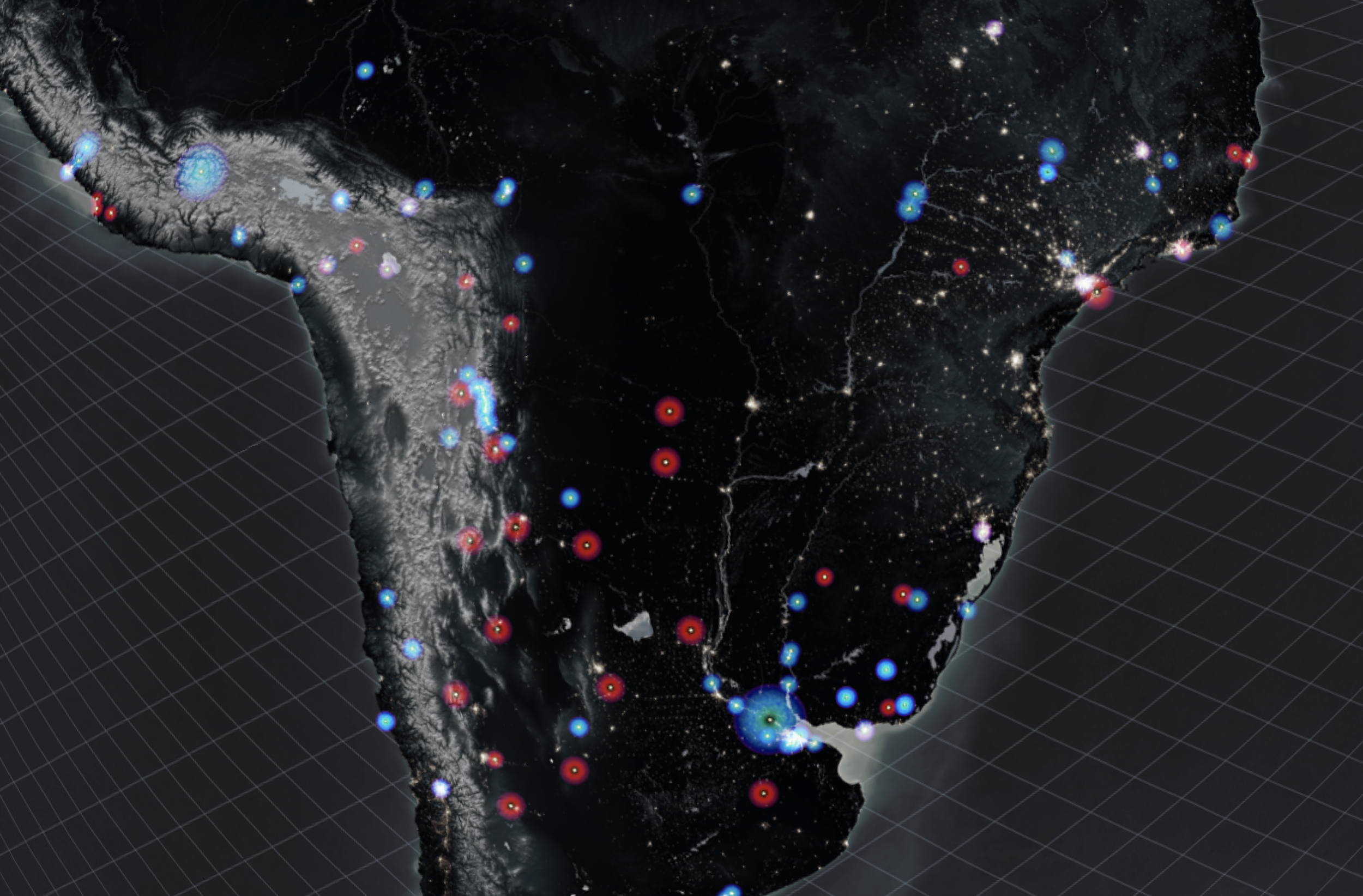
China Foreign Investment
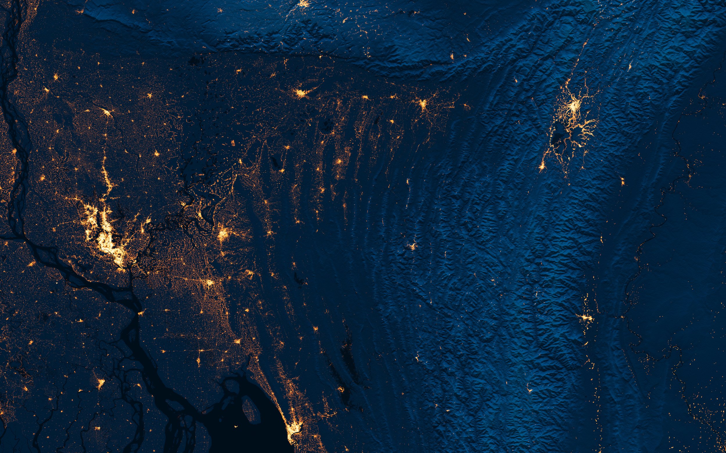
World Settlement Footprint
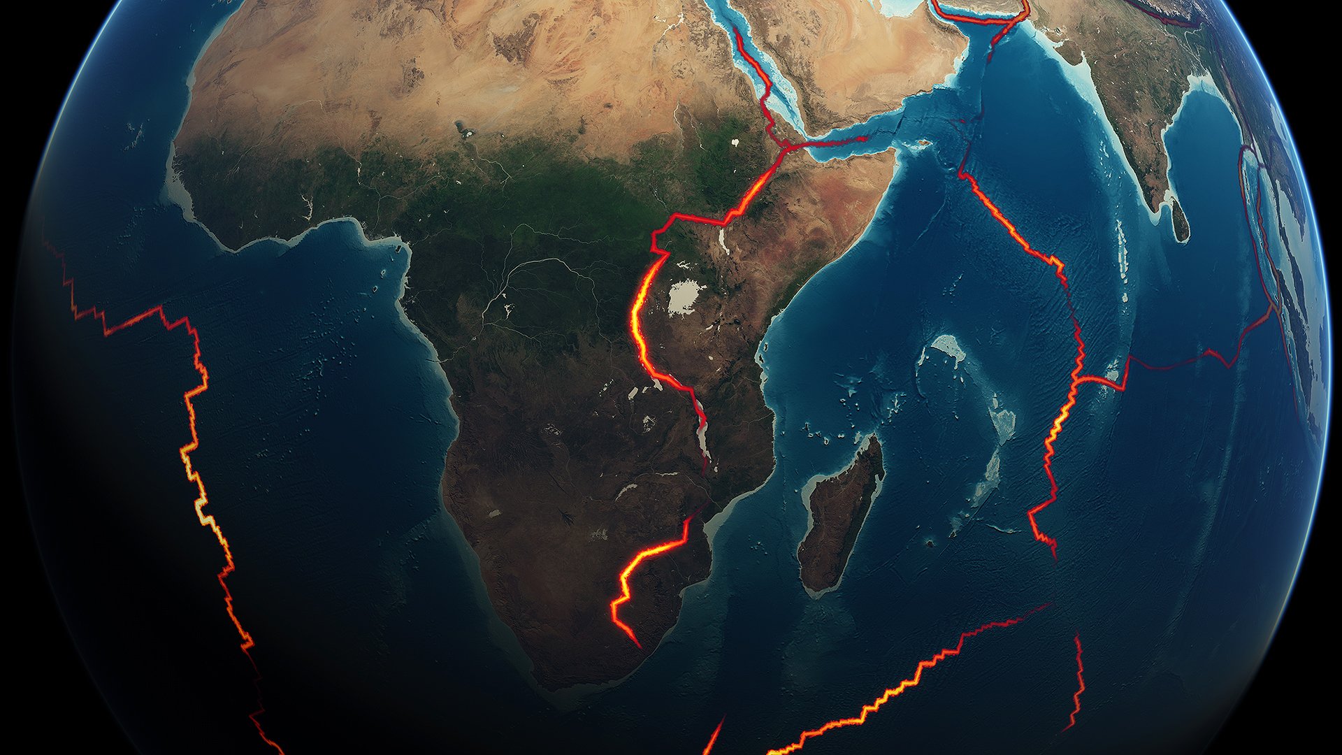
Tectonic Plates
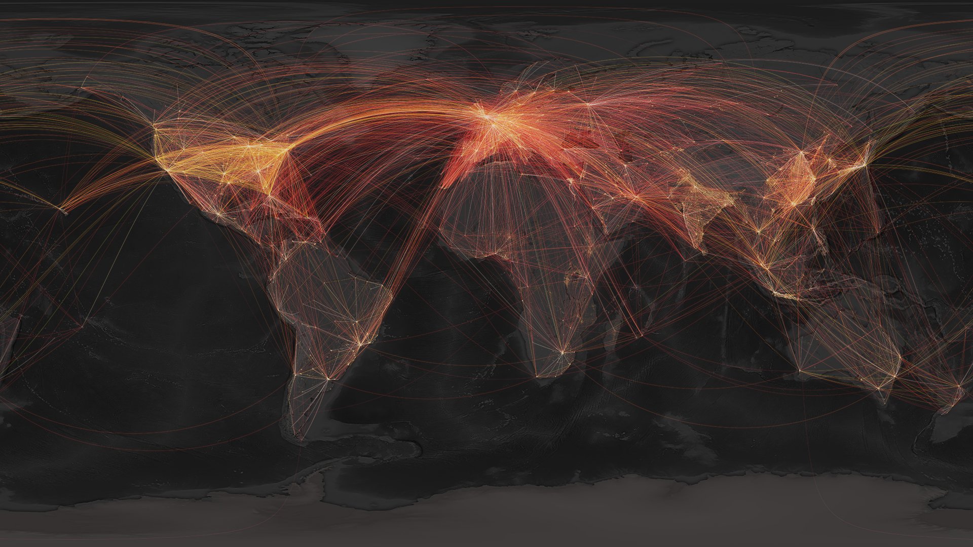
Flight Paths
Accessibility to Cities