GeoStory Creator
A ground-breaking and easy-to-use interface for storytelling with data
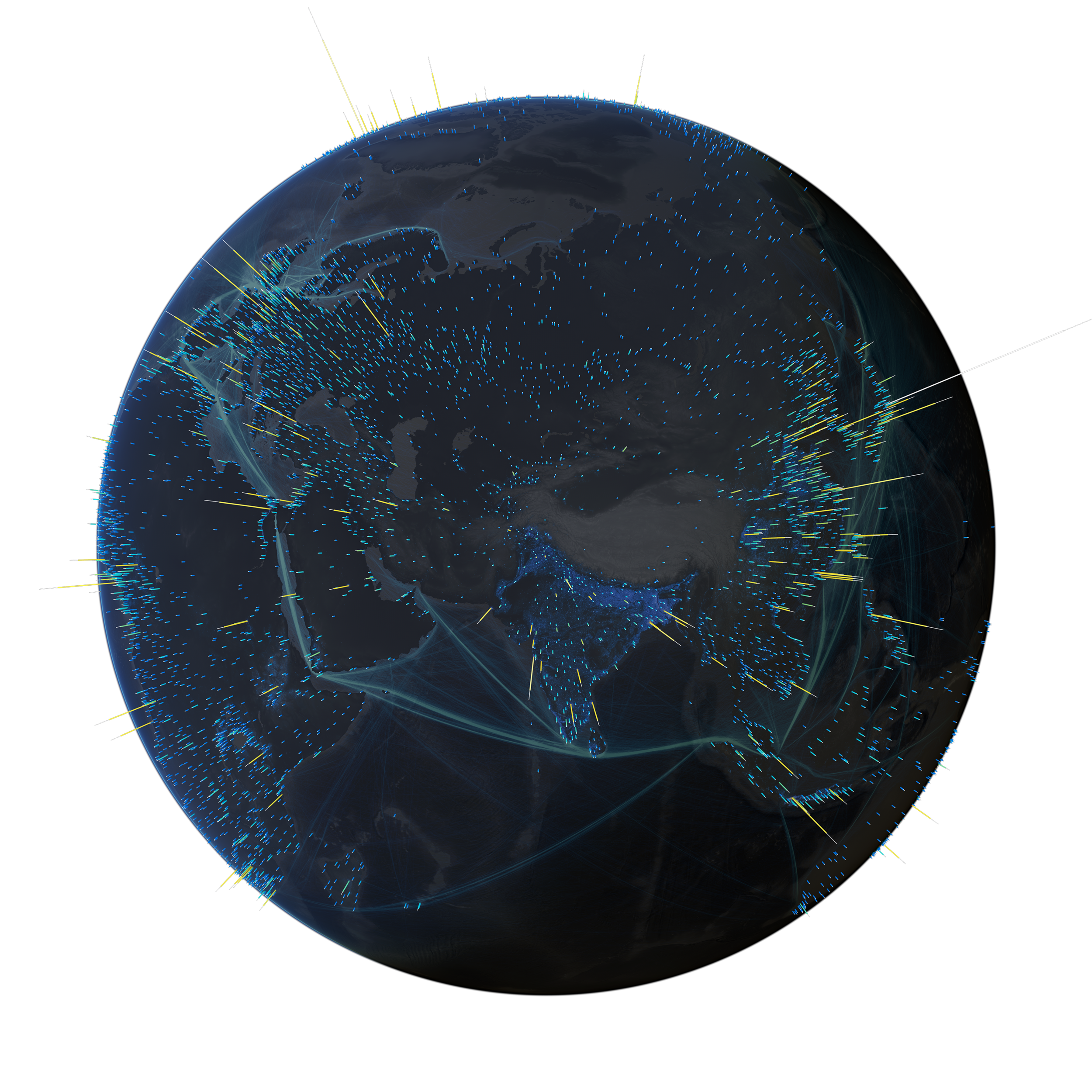
GeoStories are an interactive feature for storytelling with data. The GeoStory Creator’s cinematic styling capabilities allow you to make use of multiple Layers, rich mixes of media, and video-editing tools to help form unique narratives. GeoStories are programmatic and responsive to real-time changes to the underlying data.
To create a GeoStory, a user combines more than one Layer along with advanced camera movements, audio narration, background music, pop-up annotations as well as the option to import images, infographics and video. Together, these elements can be used to guide the user along a memorable journey of interesting discoveries and to share them with others. GeoStories provide a unique opportunity to communicate core insights and key messages through data in the most impactful way possible.


GeoStory Creation
The GeoStory Creator is unique, and more advanced than any data visualisation platform for ease and speed of use, as well as the complexity of dynamic content which can be created. The GeoStory Creator syncs with the Layer library to enable creators to draw upon existing or new Layers to build a sequence which represents the narrative which the user wishes to express. The creation suite is a self-contained platform with familiar multimedia and video editing tools which guide the user on how best to form powerful visual stories with data and contextual information. In a single, intuitive interface users can create beautiful, compelling narratives that fly viewers around the globe, through time and using blended data Layers.
The interface allows instant re-styling of a story with themes and templates, easy placement of text and infographics anywhere on the screen and the addition of cinematic camera moves to create graceful and immersive journeys to map and reference data using the EarthX globe.
Data is most compelling when put into narratives
Until now, to tell a good story with complex data one would often need to be highly skilled in computer programming or to invest in expensive software, in some cases both. For organisations, establishing clearer narratives from data has become critical to modern business intelligence and the ability to share data-driven insights. Communicating time-sensitive and location-based data is essential for commercial industries , but also the foundation for many educational, government and NGO information services.
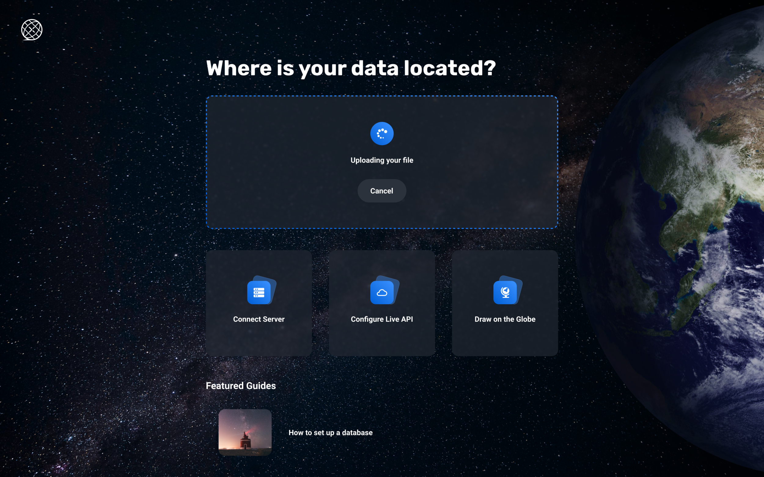
A platform to communicate data
EarthX makes it easy to tell stories with geospatial data. The creation tools allow you to build your own narratives in the form of Layers and GeoStories using georeferenced content. Effectively communicate data on the platform. Share it internally or with the rest of your community.
Storytelling with data is an easier way to clearly communicate the meaningful information that the data represents. This enables a quicker understanding for a broader range of users.