Visualisation & GIS
There is an abundance of disconnected GIS data on servers
This data has to be sifted, filtered and aggregated in deliberate ways in order to provide meaningful information. The cost, efficiency and skillsets required to most effectively utilise location-based data often creates barriers for owners of data. We endeavour to provide solutions to this with our easy-to-use and cost-efficient platform.
Many public agencies are required to make their data available to public, while private data-custodians, based on our experience, are keen to use georeferenced data to communicate key information to their audiences. Meanwhile, individuals consuming information also benefit from a clearer, easier-to-interpret and geographically-referenced way of making sense of data.
We are purpose driven and impact-oriented. We are striving to make ‘truthful’ data more accessible. We aim to empower users to package location-based data in more consumable and digestible formats for their audiences to understand.
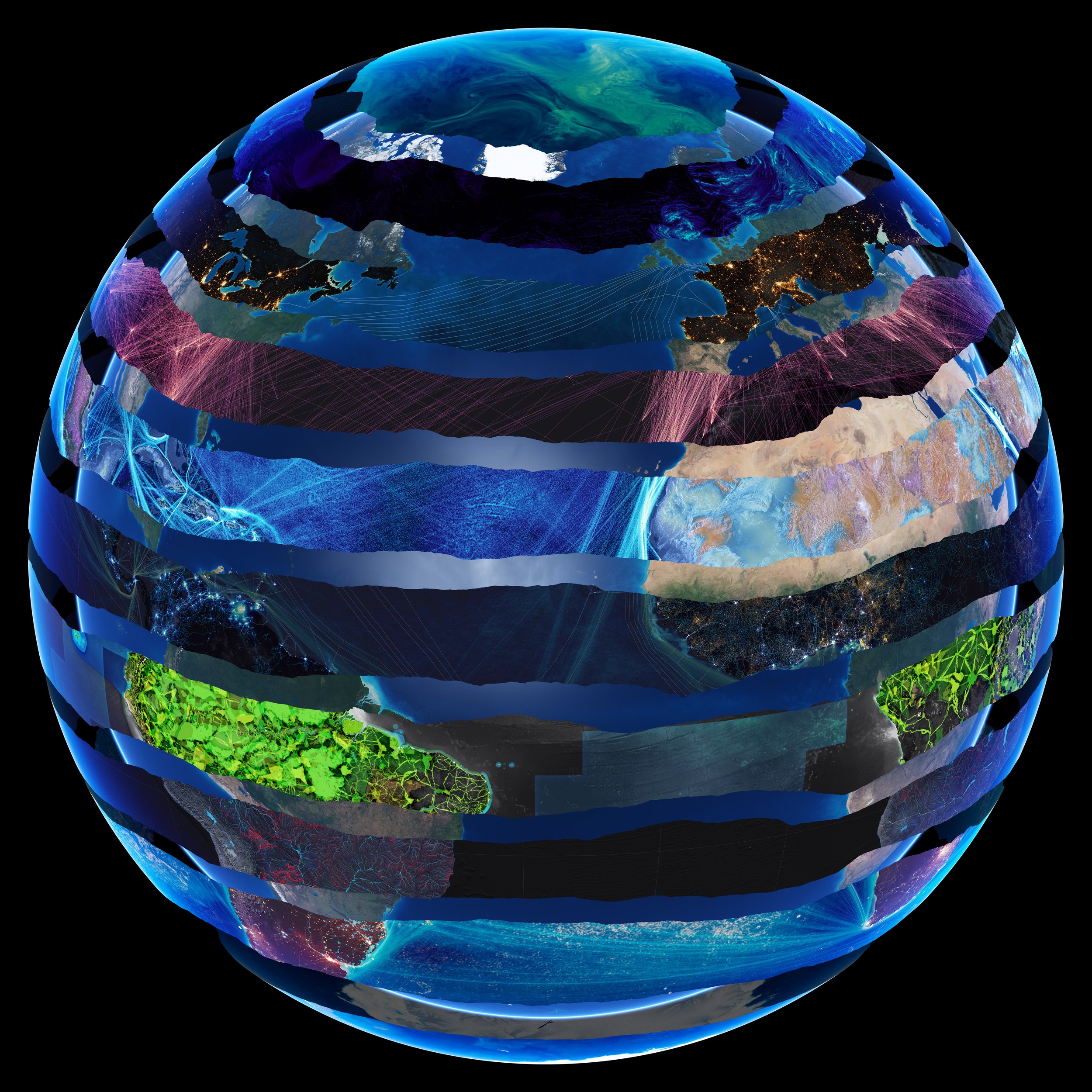
The whole is greater than the sum of all of its parts.
EarthX is built around distinct objectives

-
An intuitive information architecture to browse and discover of a wide range of historic and real-time Layers and related content
-
Data elucidated as strikingly visual, interactive reference materials
-
Overlay various interrelated data sets to gather insights
-
Easy-to-use creation suites for quickly generating new data maps and multimedia narratives using open-source or proprietary geospatial data
-
Share content with anyone online. No need to download special software or even have an EarthX account
Transforming raw data into beautiful visuals
EarthX is able to make data visualisation accessible and relatable to individuals, businesses, industries and institutions. The results garnered can be shared with users and across other content distribution platforms, including websites and social media.