Map & navigate location-based data through time
EarthX is an easy-to-use 3D digital globe and software for data visualisation


A platform to showcase real-time and historic data to tell stories.

Make data more meaningful. Use creation tools to turn raw data into information, build knowledge and understanding.
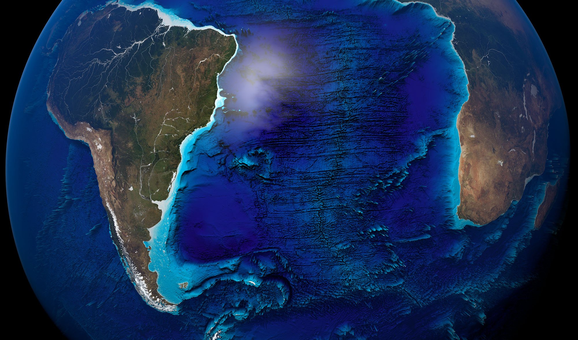
Shape the globe
Build your own data narratives and worldview in the form of Layers and GeoStories. Share it internally or with your online community.

Discover
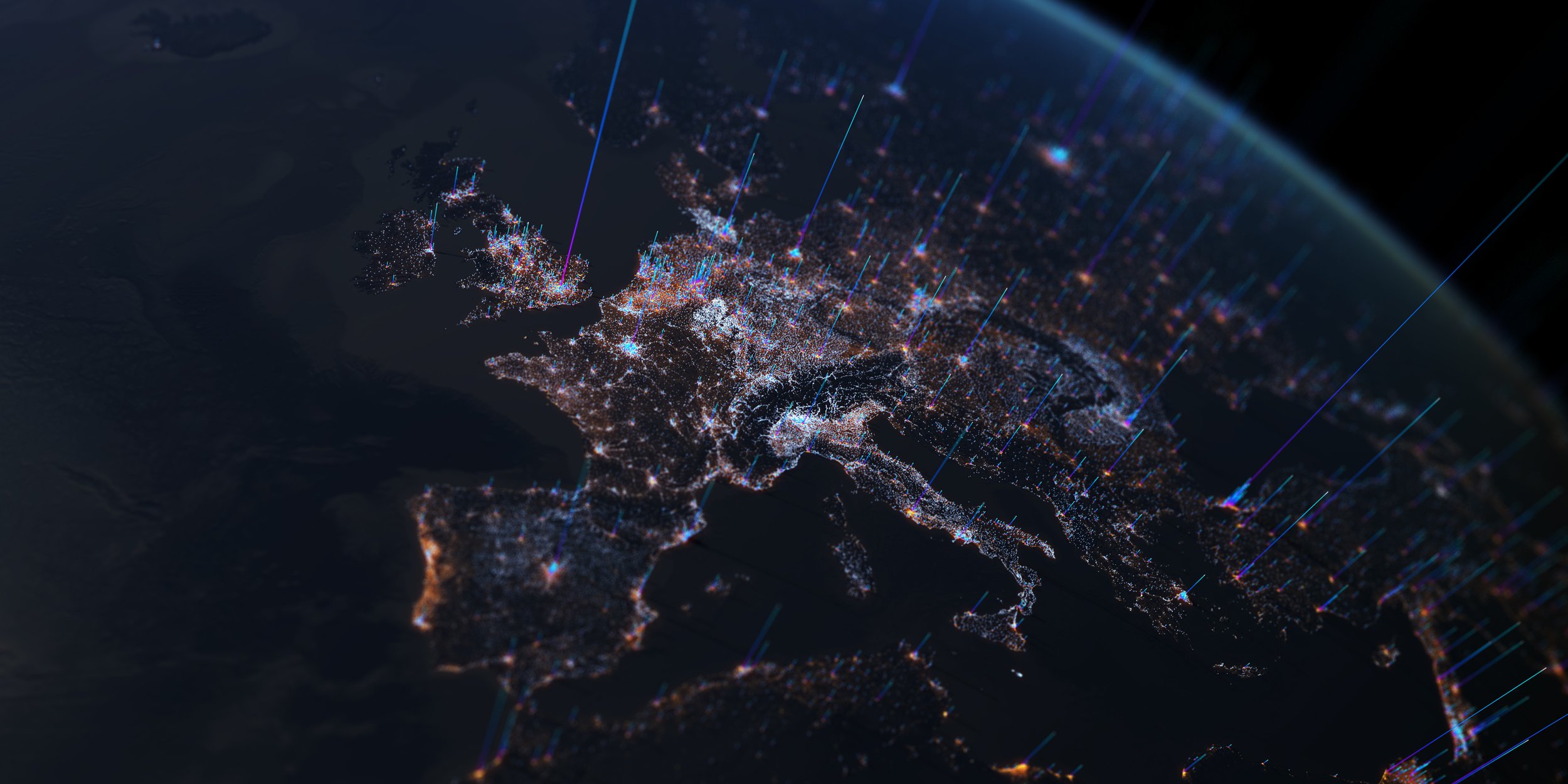
EarthX makes geospatial information and internet content readily accessible to anyone to navigate using a 3D digital globe, on almost any device. Explore, gain insights and find new discoveries.

Explore
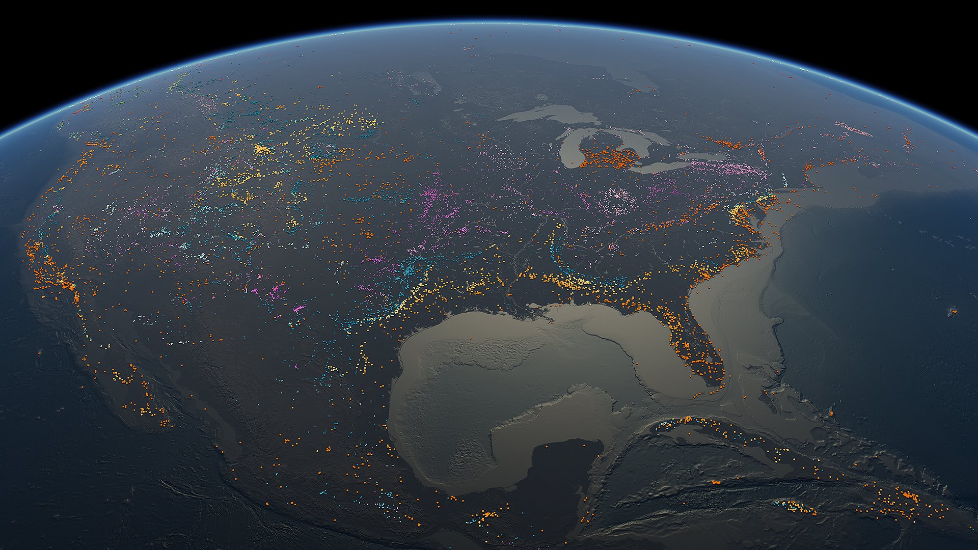
If the data is on Earth, you can map it on EarthX. Access and interpret location-based information from planetary, geographical, ecological, technological and industrial - through to economic, cultural and social themes.
Visualise
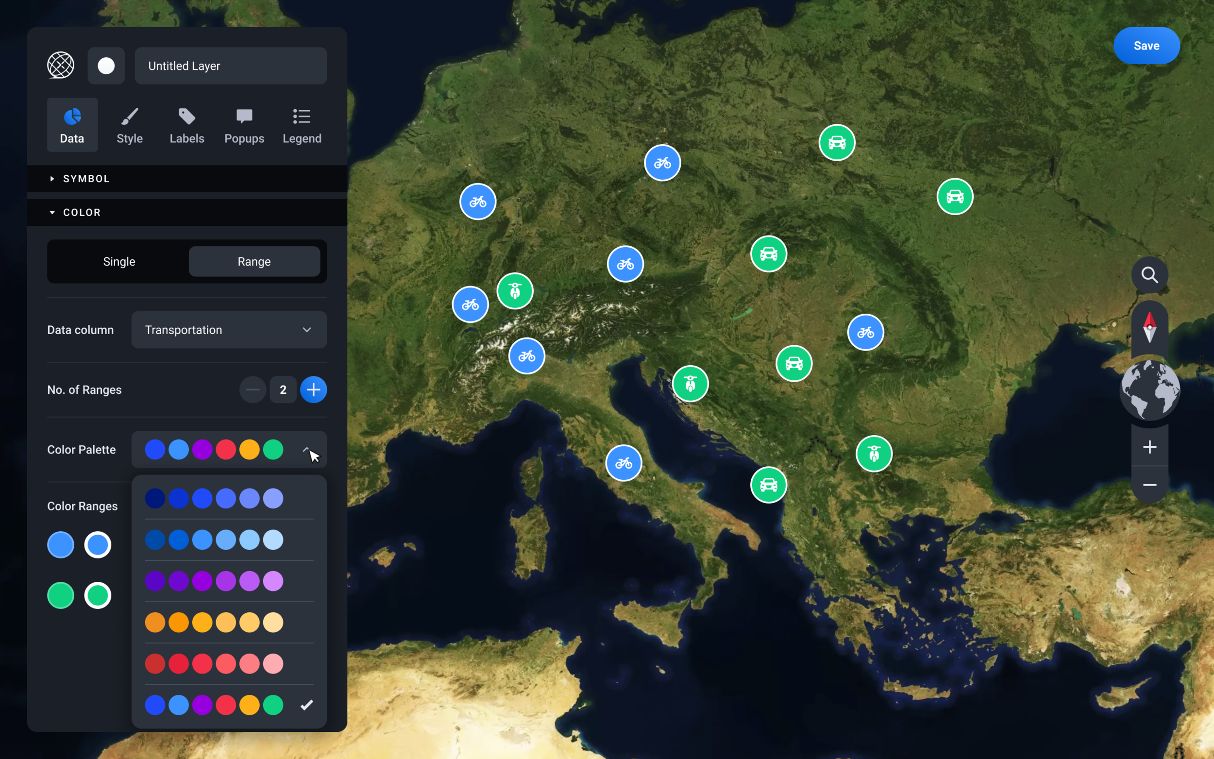
This is the data visualisation platform for everybody. You do not need any cartographic knowledge to use EarthX. Quickly transform raw geospatial data into visualised Layers with no training or special software to download. The visualisation tools are web-based, very easy-to-use and allow anyone to customise data in unique and insightful ways.
Share
Data visualisations can be shared with simple web links with anyone on almost any device. Share via social media or direct URL links. No need to download special software and absolutely no fees charged for sharing or viewing.